3 - Latitude Longitude
Presentations | English
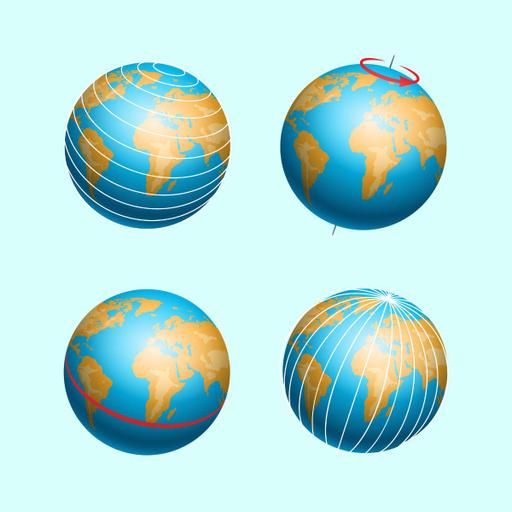
Latitudes are horizontal lines that represent the separation from the equator to the north or south. Longitudes are vertical lines that represent the east and west directions relative to Greenwich, England's meridian. This PowerPoint presentation shows how latitude and longitude are used by cartographers, geographers, and others to identify specific locations on the globe. Check out this IAS Coaching Academy resource from ASK IAS.

50.00
Lumens
PPTX (10 Slides)
3 - Latitude Longitude
Presentations | English
